-
Contributor

- News of the day
-
TBA
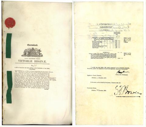
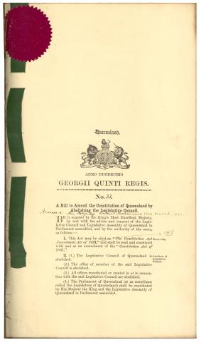
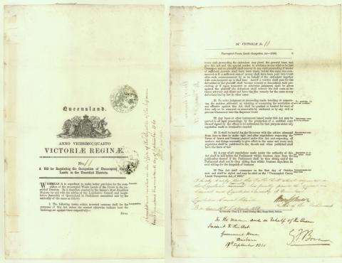
- Background
-
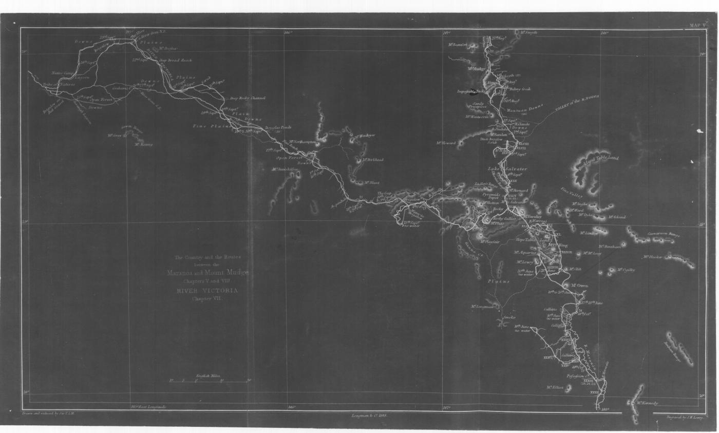
A career soldier and veteran of the Peninsular Wars, Major Sir Thomas Mitchell’s topographical plans received high praise from superiors and led to his appointment as Assistant Surveyor-General in New South Wales. Mitchell arrived in Sydney in 1827 and succeeded John Oxley as Surveyor-General following the latter’s death in 1828. He engaged in a successful road and bridge building program throughout the settled districts of the colony before being appointed to lead an expedition into the unknown areas of the north-west where a large inland river reputedly existed. This was the first of a number of important exploratory journeys undertaken by Mitchell throughout eastern Australia. Ten years after discovering the rich pastoral lands of western Victoria in 1836, Mitchell’s attention was directed north once again. During his fourth expedition of 1845-1846, Mitchell closely examined the Maranoa and Warrego districts of southern Queensland before trekking as far north as the Belyando and Suttor Rivers. During the course of this journey he also discovered the Barcoo River, wrongly believing that it flowed into the Gulf of Carpentaria and described the area around Blackall as the finest pastoral land he had ever encountered. His published account of the expedition later encouraged pastoralists to settle in the region. Although there were many problems within his department, Mitchell continued as Surveyor-General of New South wales unitl his death from pneumonia in 1855.